
Modelar
Capture, manage and share spatial data
Capture 3D data in the field with the Modelar app, then organize, review and share it in Modelar Cloud.
Subscribe to stay informed
Modelar App
Free 3D scanning for iPhone and iPad
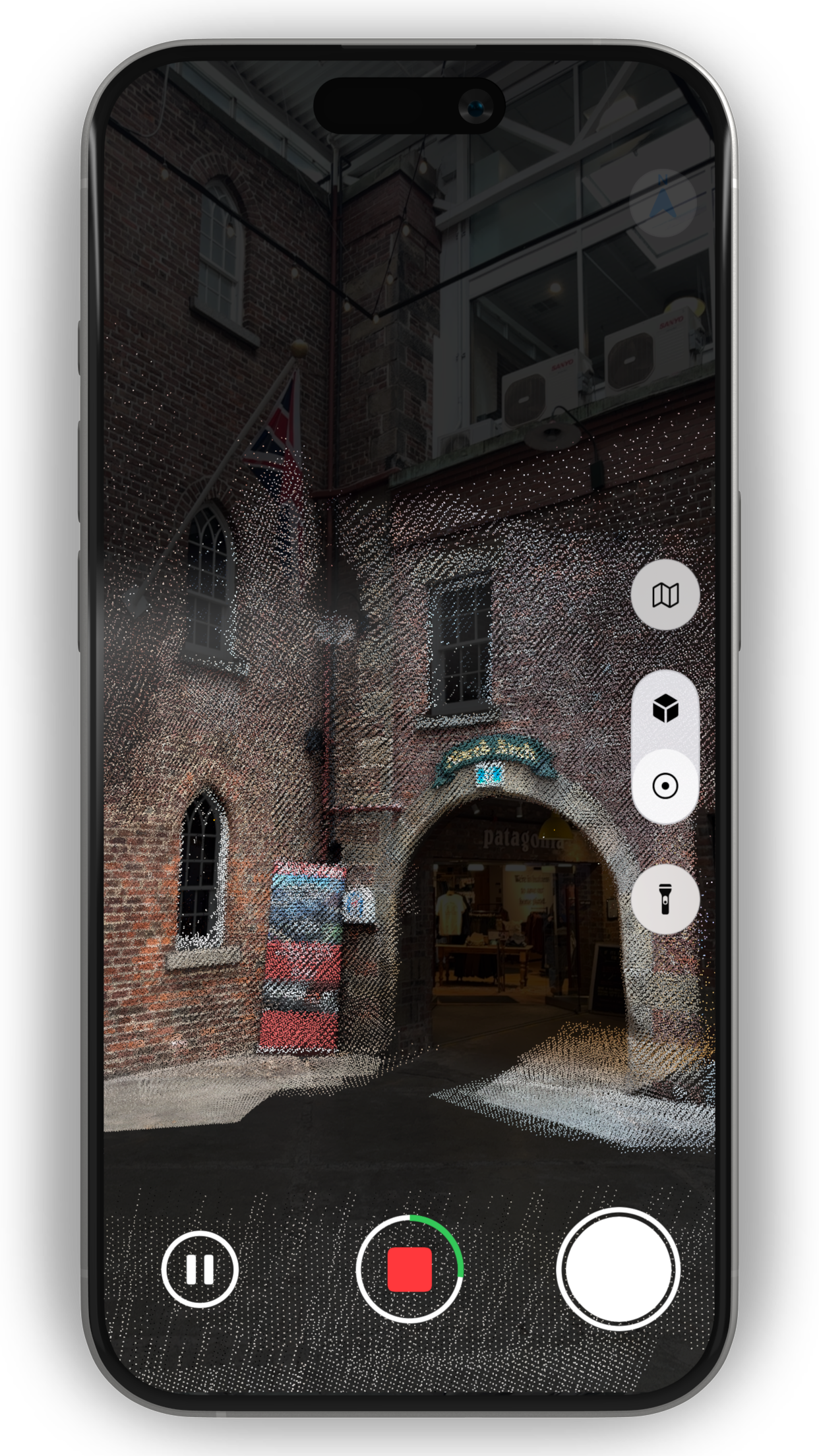
Capture spatial data directly in the field using the LiDAR sensor in a supported iPhone or iPad.Scan, generate a triangulated 3D model, review associated photographs, take measurements and export data in standard 3D and point-cloud formats.
Model
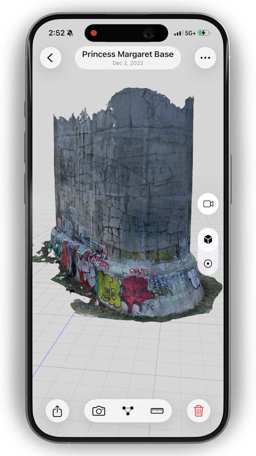
Capture and view point clouds with billions of points directly in the app. Then create textured meshes to see your site in full detail.
Review
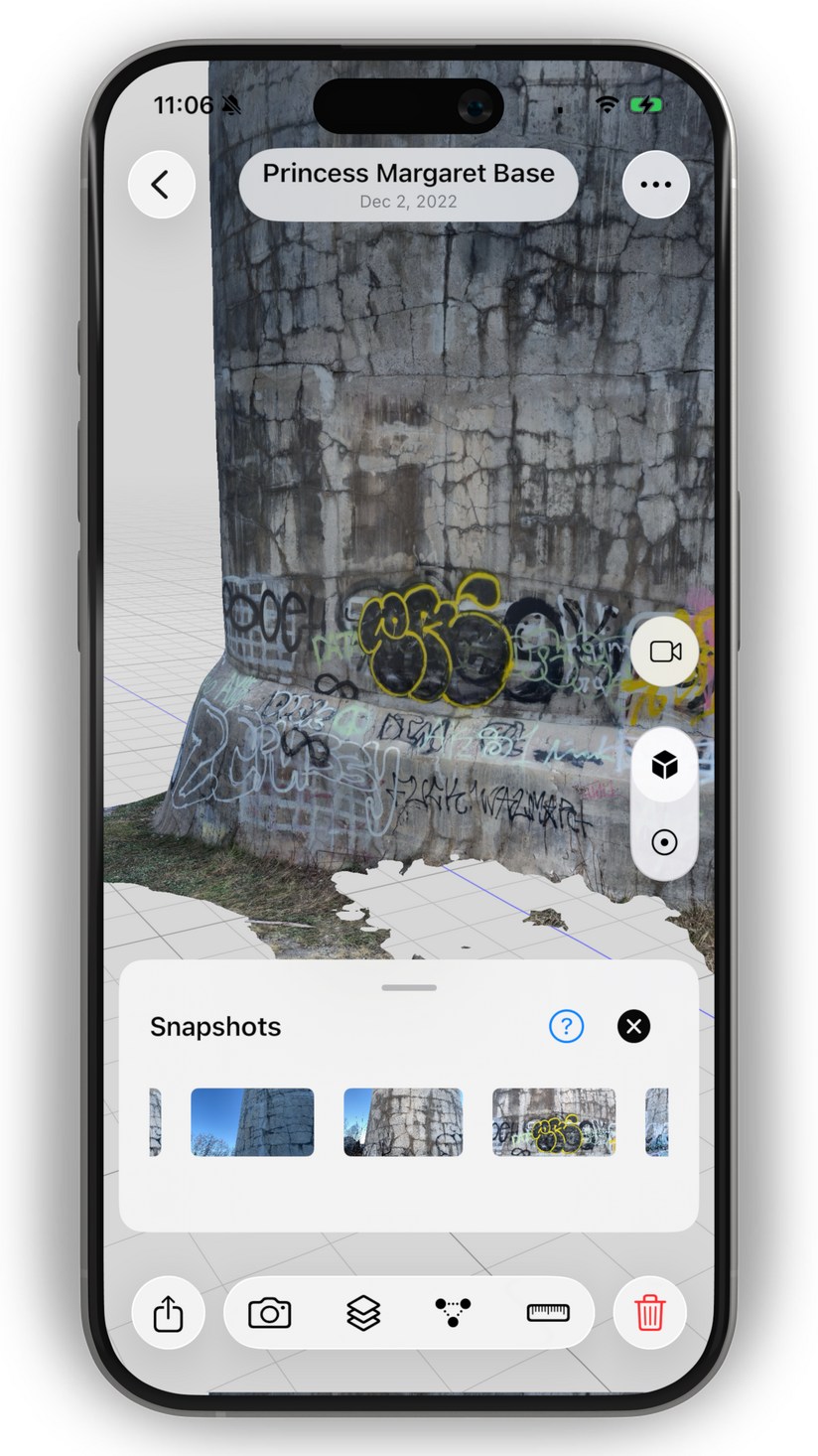
Browse the images captured while scanning along with your 3D model to examine surface detail, confirm site conditions and retain visual context.
Measure
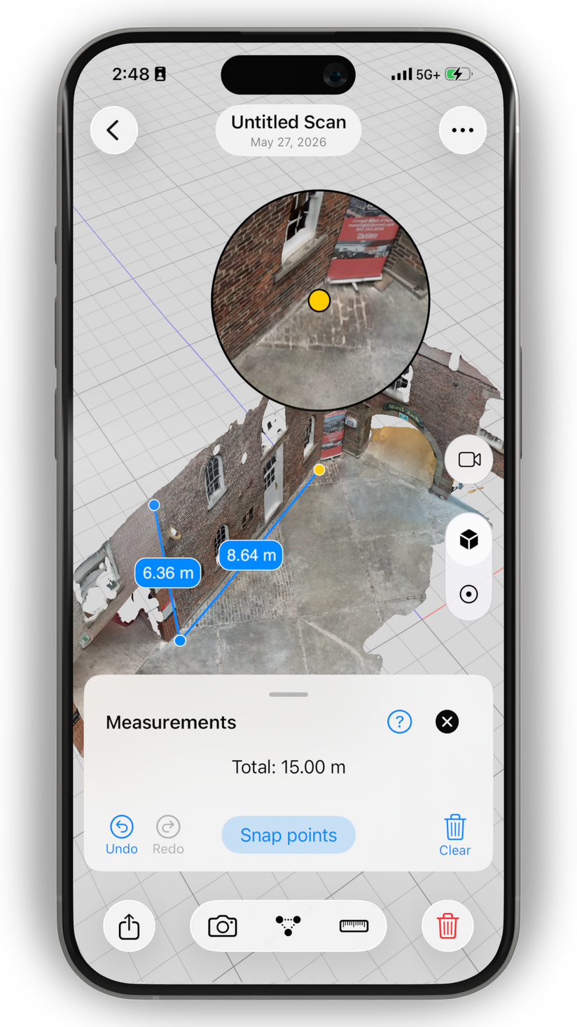
Take measurements directly from the model and save them for later reference. Use your models to document dimensions without returning to the site.
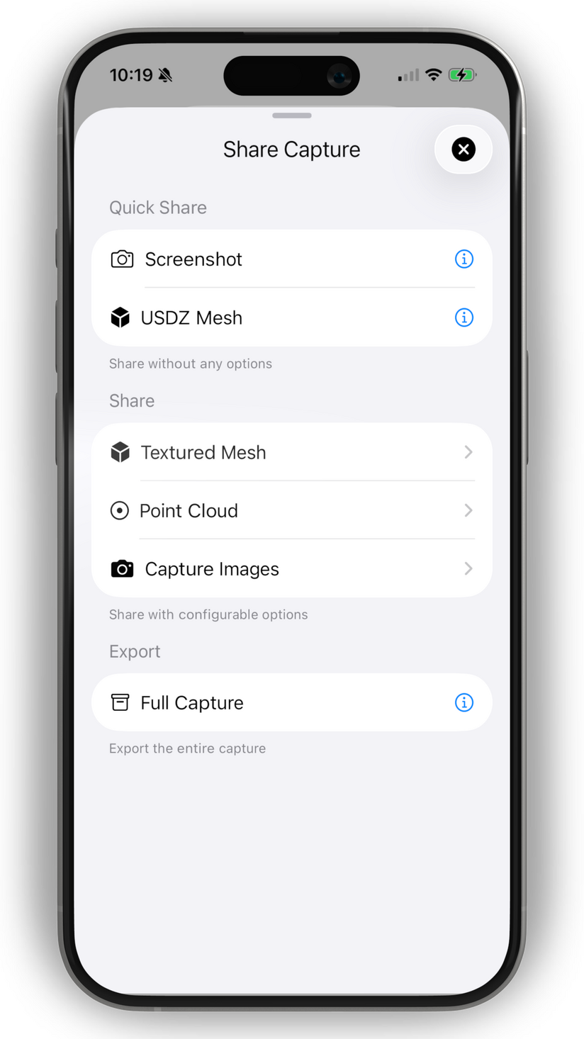
Export
Export scans in open point-cloud and textured mesh formats for use in CAD, GIS, modelling, visualization and research.

Modelar Cloud
Organize and review spatial data in the cloud
Modelar Cloud provides a secure workspace for storing, reviewing and sharing 3D captures without installing specialist desktop software.
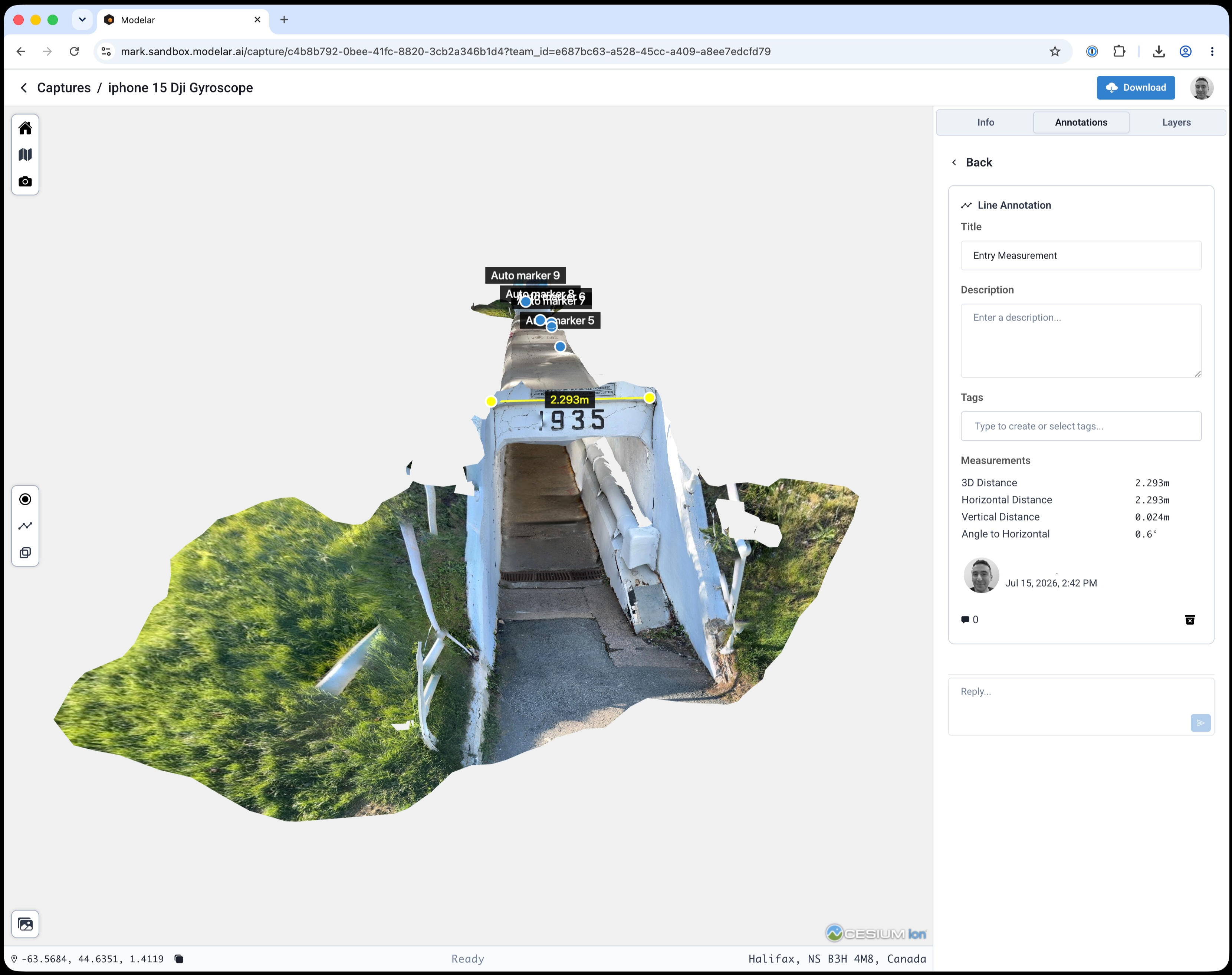
View & Annotate
View point clouds, meshes and images in 3D, then add measurements, annotations and comments.Then georeference them using horizontal and vertical coordinate reference systems and view them on the map.
Manage
Organize your captures using projects, folders and tags. Search your captures and third-party laser scans quickly and view multiple captures at the same time.
Import and Export
Upload captures directly from the Modelar app, or from other systems using LAS and OBJ files. Export them for use in CAD, GIS, modelling, visualization and research.